Deutsch
  Polski
 MX50 and Multibeam in combined use above and below water!
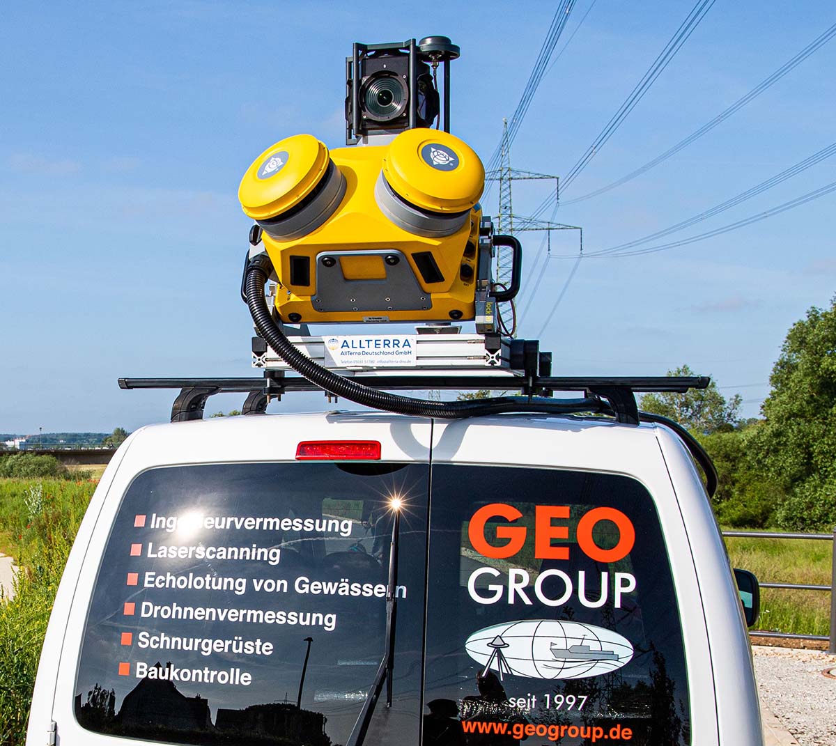
Efficient versatility in action: Flexible survey of large areas thanks to the MX50!
We have expanded our surveying technology with the Trimble MX50! With this mobile laser scanner we can cover large areas in a very short time. The device is very compact and versatile, which enables a high degree of mobility, as it can be mounted on ships, cars, quads or similar vehicles.
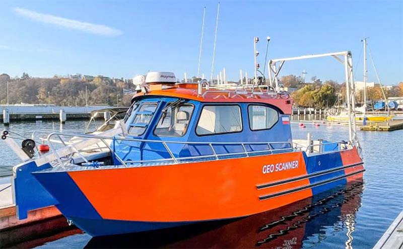
For us, the MX50 is, among other things, a valuable addition to our multibeam systems. By combining the two, we are able to survey harbours, embankments or similar areas simultaneously above and below water in one measurement process almost seamlessly.
But we can also survey road markings, trenches, manholes and much more quickly and precisely.
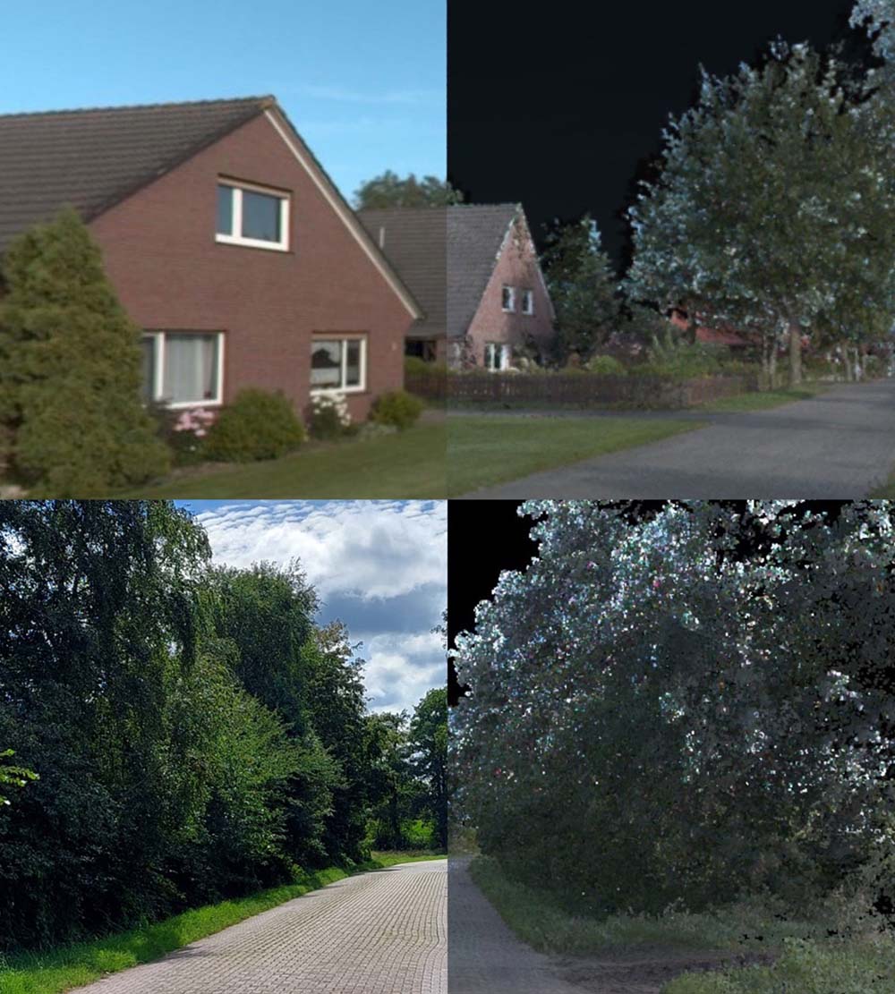
The MX50's closed-loop system delivers precise LiDAR data and comprehensive panoramic images that create an absolutely true-to-scale twin model of the environment. With appropriate effort, we can display this model in post-processing to an accuracy of one centimetre.
The seamless integration of GPS and inertial sensor technology enables precise positioning and data acquisition even in difficult terrain at speeds of up to 100 km/h. In addition, the inertial system ensures that calculations continue even in the event of GPS failure.
The two high-precision lasers each have a capture rate of 500,000 points per second and a range of up to 80 metres. The 360° camera can simultaneously take panoramic pictures of the surroundings.
The system collects and calculates the raw data in real time, which minimises repeated site visits. It also reduces the safety risk for our survey crews, as large projects can be completed in the shortest possible time and without road closures.